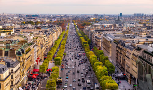
Recalibration of the Paris model
The client wanted a ready-to-use model to study all future projects over many time horizons and to benefit from a variety of dynamic statistics.

The client wanted a ready-to-use model to study all future projects over many time horizons and to benefit from a variety of dynamic statistics.
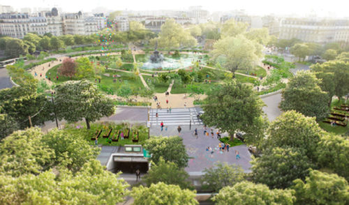
The project is part of the redevelopment program of the Seven Squares of the City of Paris. These squares are: Bastille, Fêtes, Gambetta, Italie, Madeleine, Nation and Panthéon.