
Walk or take the bus? Modeling mode choice with dynamic transit assignment.
Dynamic Transit Assignment in Aimsun Next for pedestrians to walk or to walk and take transit to reach their destination.
Dynamic Transit Assignment in Aimsun Next for pedestrians to walk or to walk and take transit to reach their destination.

Dynamic Transit Assignment in Aimsun Next for pedestrians to walk or to walk and take transit to reach their destination.

Tessa Hayman explains how to analyze route choice changes between schemes tested using microscopic, mesoscopic and hybrid network loading.
Marga Delgado explains how the the Path Assignment Plan feature in Aimsun Next gives you unparalleled flexibility in reusing previously calculated paths.

Marga Delgado explains how the Table View in Aimsun Next is a powerful tool that can boost efficiency across all stages of a modelling project: when editing, when calibrating and when reviewing the final results.

Tessa Hayman explains that when appraising schemes, it can be useful to understand how different schemes may interact with each other. This can help you understand any potential synergy between schemes and identify a subset of scenarios to test with fully detailed modelling.

Tessa Hayman explains how you can use the new functionalities in Aimsun Next 23 to create outputs for monitoring changes during matrix development as outlined in the UK’s Transport Appraisal Guidance (TAG).

How to apply a custom Route Choice function to emulate a heavy truck guidance system.

Marga Delgado explains how to use the Isochrones tool in Aimsun Next to generate accessibility maps for different transportation modes and different criteria as distance or travel time and how accessibility maps can help assess the impact of new roads or transit services.

Dimitris Triantafyllos explains how to create speed contour plots in Aimsun Next to show the time, location, and subsequent propagation and dispersal of congestion on the highway.

February 2023: Tessa Hayman explains different options for multiple centroid connections and the effects of different parameters and assignment algorithms.

This technical note will explain the different sources of stochasticity within micro and meso experiments in Aimsun Next and how you can control them.
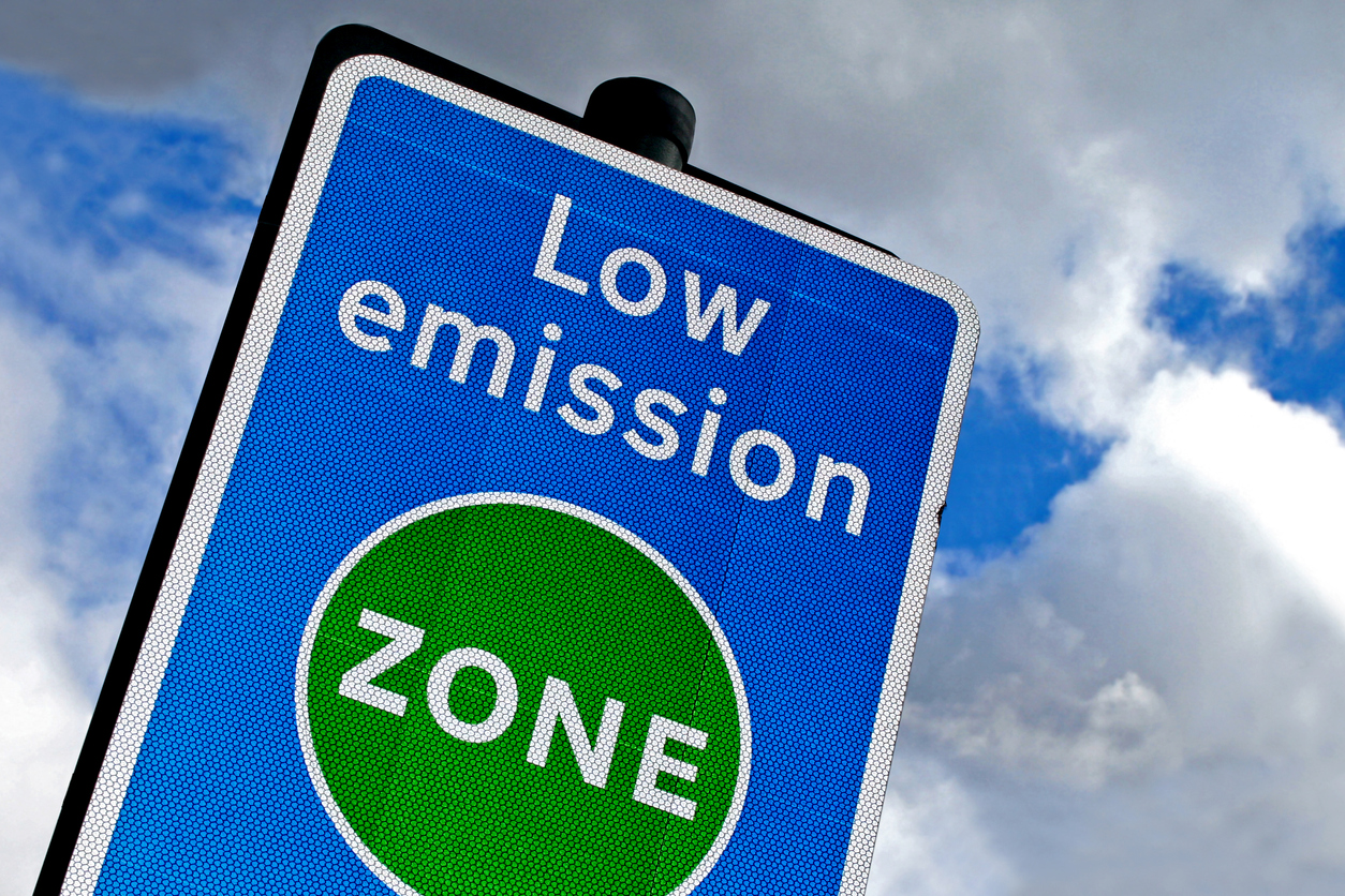
Simulation is an invaluable tool for supporting the definition of effective emissions policies. Aimsun helps you compare the effectiveness of different measures and assess related impacts, so you can keep pollution within legal thresholds without compromising on mobility.

Mohammad Saifuzzaman shows how the Aimsun Real Data Set Checker makes it quicker and easier to create clean datasets and examines some different use cases.

Dimitris Triantafyllos explains how to run a micro or meso simulation in Aimsun Next connected to SCATSim, a suite of software modules designed to emulate the SCATS adaptive traffic control system.

“My model is in the Atlantic Ocean!”
Tessa Hayman guides you on how to set the coordinate reference system correctly in your Aimsun Next model.

Dimitris Triantafyllos explains how to use the Aimsun Next project folder structure to automatically manage model files.

June 2022: Aimsun Next has a specific mesoscopic merging behavior model that is controlled by the cooperation gap and merging gap parameters. Mohammad Saifuzzaman explains how to use these parameters to control merging behavior and match observed traffic flow and congestion.

May, 2022: In transport networks, the available infrastructure may vary through the day. In this technical note we will review how to close lanes temporarily in one direction so that the other direction can use them

April 2022: The new Microscopic Free-flow aCceleration (MFC) and Battery Consumption Models allow for a more accurate fuel and energy consumption analysis. This technical note walks you through the details of the models and how each parameter affects the vehicle behavior.

March 2022: A new feature introduced in Next 22 is the Transit Route Change traffic management action. This technical note will go over how to implement the action and ways in which it could be used.
