A hybrid simulation concurrently applies the microscopic model in selected areas and the mesoscopic in the remainder of the network. The hybrid model is recommended for large-scale networks with specific areas that require a microscopic level of detail but with a global network evaluation.
Using the hybrid model is beneficial for networks where changes or strategies that require precise knowledge of when a vehicle passes over a detector located inside a road section (such as adaptive control and transit signal priority (TSP)) but may have a wider influence in terms of rerouting on the network. Running the entire network at microscopic level would increase the computation time, so the use of the mesoscopic model outside of the areas where micro is strictly needed allows you to increase the size of the model without impacting too heavily on the runtime.
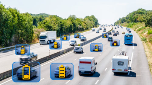
Example: hybrid simulation with TSP
For instance, Figure 1 shows a network that is in the mesoscopic model with a microsimulation area where TSP is implemented (green polygon). TSP requires the detection of buses as they approach and exit intersections to place and clear the priority calls. Meso doesn’t know exactly when a bus passes a certain location inside a section, so the TSP corridor needs to be in the microscopic model for the logic to be supplied with accurate inputs. At the same time, just simulating the corridor would ignore any rerouting effect for private vehicles, whose travel time would be impacted by the transit calls.

Figure 1: Mesoscopic network with a microsimulation area
Calibration
When using the hybrid model, the first step would be calibrating the entire model at mesoscopic level. Start by running a Dynamic User Equilibrium experiment and save paths in a path assignment file. Second, define the microsimulation areas under Microsimulation Scope of the hybrid experiment, which can be done in two ways: either by selecting one or multiple pre-defined conditions, or by drawing polygons and converting them into microsimulation areas (Figure 2). Third, run a one-shot hybrid simulation using the path assignment previously saved from meso DUE and calibrate the micro behavior inside the microsimulation areas.

Figure 2: Microsimulation Scope
Polygon boundaries
When drawing a polygon to create a microsimulation area, keep in mind that when a whole turn is within the boundary of a microsimulation area, the entire node and all its approaches will also be in micro. As seen in Figure 3, there is visible traffic in the northeast direction because both this node and the downstream node are inside the microsimulation area. However, the southeast traffic is only visible in the section that enters the intersection but not the exit section because the downstream node is outside of the boundary of the microsimulation area.
When a microsimulation area is created, a layer will be automatically created and all other microsimulation areas generated will be placed in that layer. By default, it will not be editable so if the area has to be modified, check the box “Allow Object Editing” for the layer. The boundaries of the microsimulation area can be modified at any time. It’s a good idea to make the layer uneditable again after making modifications to the microsimulation area.

Figure 3: Vehicles between boundaries
When calibrating the micro behavior inside the microsimulation areas, the following values for the basic parameters are a good starting point to ensure the consistency of throughput between the meso and micro areas.
Car-following model:
RTmeso = 1.5 RTmicro
For example, if RTmicro=0.8 (usually between 0.65 to 0.9 seconds), then RTmeso=1.5 * 0.8 = 1.2
RT Stopmeso = RT Stopmicro
RT TrafficLightmeso = RT TrafficLightmicro
JamDensitymeso = 1000/ (Length+MinDistVeh)
Lane-changing model:
Look ahead distances = distance zones
RT factormeso has to be lowered to reduce lane-changing delay where needed, for example where you have increased Cooperationmicro
Additionally, keep in mind that some information is not propagated across boundaries such as visibility of public transport stops, cooperation distance in on-ramps and main stream visibility in yield signs (Figures 4, 5 and 6, respectively).

Figure 4: Visibility of PT Stops

Figure 5: Cooperation distance in on-ramps

Figure 6: Main stream visibility in yield signs