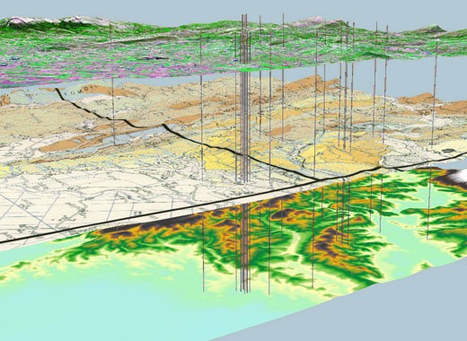
In Part 1 of this series, Geline Canayon explains GIS (Geographic Information System) file preparation and basic importer settings. Part 2 will deal with network importer settings.
You can create a road network in Aimsun Next by importing a GIS file of polylines in a Shapefile (.shp). The GIS Importer also supports Google Earth (.kml) and MapInfo (.tab, .mif) file formats. During the import process, you can select attributes that define the properties of the road sections, such as the road type, speed limit and number of lanes. All other attributes in the original GIS file are imported as additional attributes of the sections. You can follow exactly the same procedure to import a network from other software packages that do not have a specific importer, such as Cube, TransCAD or Dynameq, from which the network can be exported in a Shapefile format.
To import a Shapefile, you’ll need the .shp, .shx, .prj and .dbf files. However, there are a few extra steps before launching the GIS importer: you’ll need to create a template that contains elements that the GIS file references, such as the road types and the volume delay functions (VDF). During importation, the road types and VDF codes in the GIS file will be matched with the existing ones in the template, which is why they need to be created beforehand.
First, open the GIS file in an external viewer, or at least open the accompanying .dbf file in Excel, and figure out which attributes indicate the road type and the VDF of each link, and the possible values. Analyze how the information is structured and what data are stored in each attribute: if links are bidirectional but coded with a single polyline, how are the same attributes for each direction coded – are there attributes that provide number of lanes, speed limit, capacity?
Second, start a new project in Aimsun Next and create the road types that you need. You can set the value referring to each road type found in the GIS file as the external ID – this will facilitate the linkage later on. Spend some time setting reasonable default values for the parameters of each road type, such as speed and capacity per lane. If the parameter is present in the GIS, its value will be read from there, so the value in the road type will only affect new sections created after the import; if the parameter is not present in the GIS, the value from the road type will be assigned to the imported links. Of course, you can change the values later, but it will be riskier and more tedious. If you do need to make changes, be sure to use Table View (selecting Update Sections will replace all attributes of the sections of a road type with the default values for that road type).
VDFs are critical for importing macroscopic models, so if this is the case, in the new project, create all the different VDFs that are referenced in the GIS file. The content of the VDF is not contained in the GIS file, and must be obtained from the accompanying documentation of the model to be imported. Similar to road types, VDFs can be created and assigned after the import, but doing it at this early stage will save time and effort later. During the import process, you can match the VDF with the different values of some attribute in the GIS file. Sometimes the GIS has a dedicated attribute, but if it doesn’t, you can use a factor in the function (e.g. alpha) as a way to identify which VDF should be associated to each link.
Finally, you can launch the GIS Importer to select the file to import (File > Import > GIS).
The GIS File Properties window appears (Figure 1), where you can set the basic options for importing the data. If you want to build the road network from scratch using the GIS data, select “Import as: Network”, and this option will convert the polylines in the GIS file into sections connected with turns. The other options will only create polylines, so they are used to import decoration or to have a reference graph for comparing existing and future geometry.
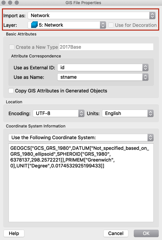
Figure 1: The GIS File Properties window will open when you’ve selected the GIS file.
Under Attribute Correspondence (Figure 2), set which attributes in the GIS file to use for the imported objects’ External ID and Name. While this step is not mandatory, it is strongly recommended because it is the only way to maintain a relationship between the GIS data and the network in Aimsun Next for future reference, i.e., to import the results of a macro assignment run in another software package.
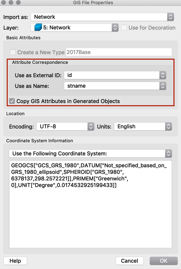
Figure 2: Attribute Correspondence
Shapefiles usually come with a projection file (.prj) that describes the coordinate system on which they are based (Figure 3). If the coordinate system of the Aimsun Next file (see Project -> Properties) is different from that of the GIS data, the GIS data will be transformed to the coordinate system of the Aimsun Next file.
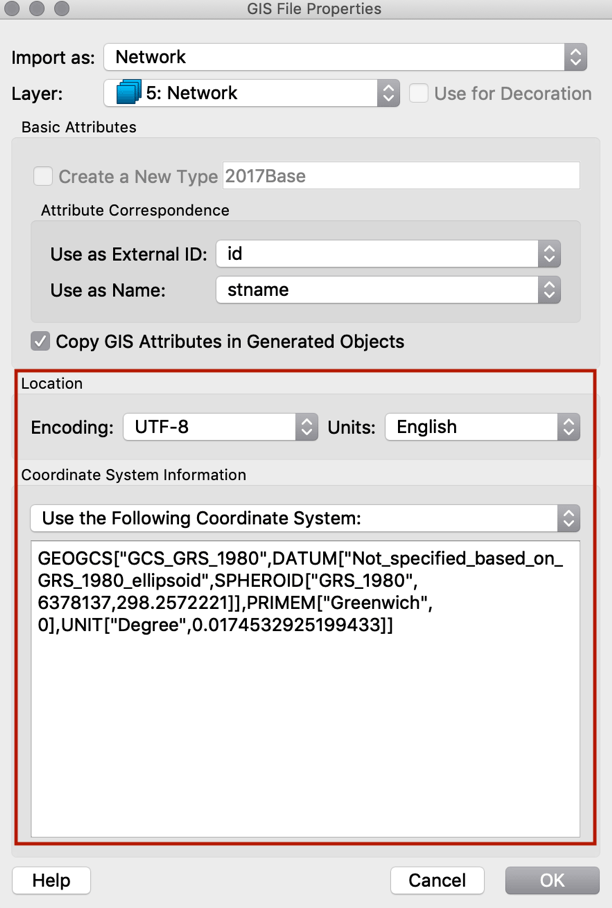
Figure 3: Coordinate System
When all these aspects have been configured, click OK and the Network Importer dialog will appear. The subsequent steps will be covered in Part 2 of this technical note, to be published in June 2019.


